
Dr Philip Jagessar on Orientalists and their maps: cartographic views from the Royal Asiatic Society collection
In the annals of history, maps have often been celebrated as windows to the world, offering glimpses of uncharted territories and serving as tools of exploration, documentation, and navigation. Yet, their role in the intellectual and cultural landscape of the Royal Asiatic Society, especially during its formative years, remains a lesser-known chapter in the Society’s 200-year journey.
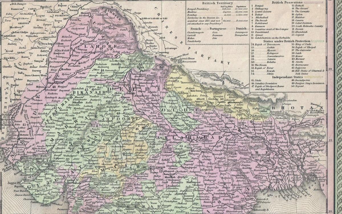
In this fascinating lecture by Philip Jagessar, a Wellcome Early Career Fellow at King’s College London, we embark on a journey to delve into the captivating history of the Royal Asiatic Society’s map collection. This collection, shaped by the diverse interests of its members from the early 1820s, boasts an eclectic assemblage of maps, each with its own unique story to tell.
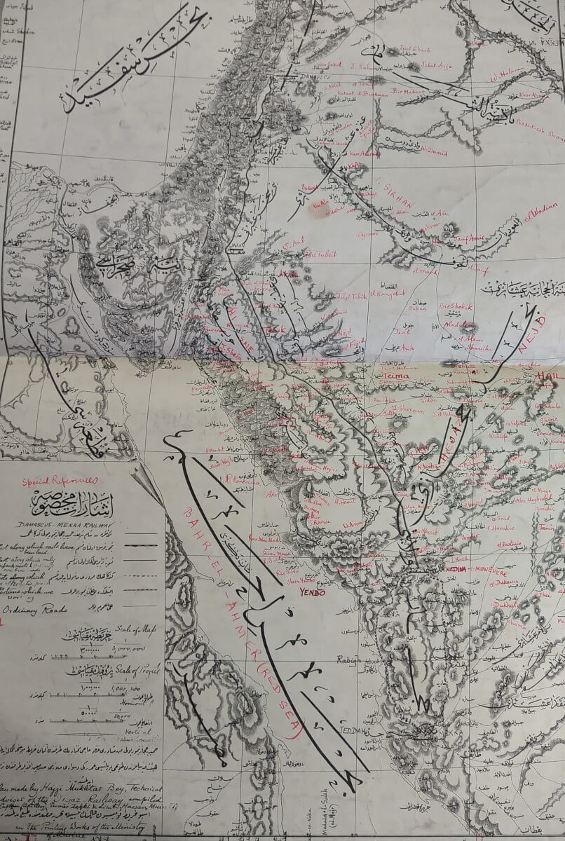
From linguistic atlases of Asia to archaeological maps of the Middle East and geopolitical maps of Central Asia, these maps offer an invaluable insight into how the Royal Asiatic Society and its members viewed the world they inhabited. During the lecture, Dr Jagessar explores how the Society’s relationship with a changing Asia evolved over time, and ponders the intriguing questions of how a map collection develops.