Mapping the Caucasus
August is traditionally a quieter month in the Society’s calendar, with our events programme pausing for a short summer break before resuming in September. The Library, however, never runs out of things to do. Reader appointments, research enquiries and the ongoing work of processing our collections continue throughout the season.
This week, I stepped away from my longer‑term cataloguing projects and turned my attention to the map collection, prompted by the chance discovery of an uncatalogued printed map that could be added to our holdings. The Library has a small collection of printed maps, dating mostly to 19th and early 20th centuries and covering an extensive geographical range across Asia. The collection is the product of decades of donations from individuals and acquisitions from other learned societies throughout the Society’s history. In 2021, We were fortunate to have Dr Philip Jagessar undertake a detailed study of the collection, helping us understand better its history, scope and significance. Dr Jagessar wrote a series of blogposts on this subject and delivered an associated lecture in 2023, which can be viewed here. While many of the maps are now described in our online catalogue here, a number still await formal cataloguing.
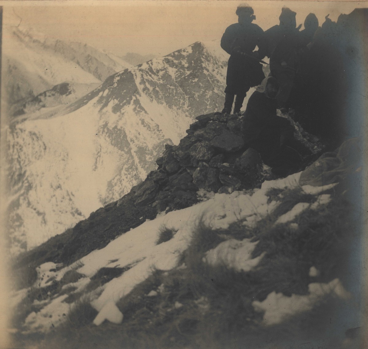
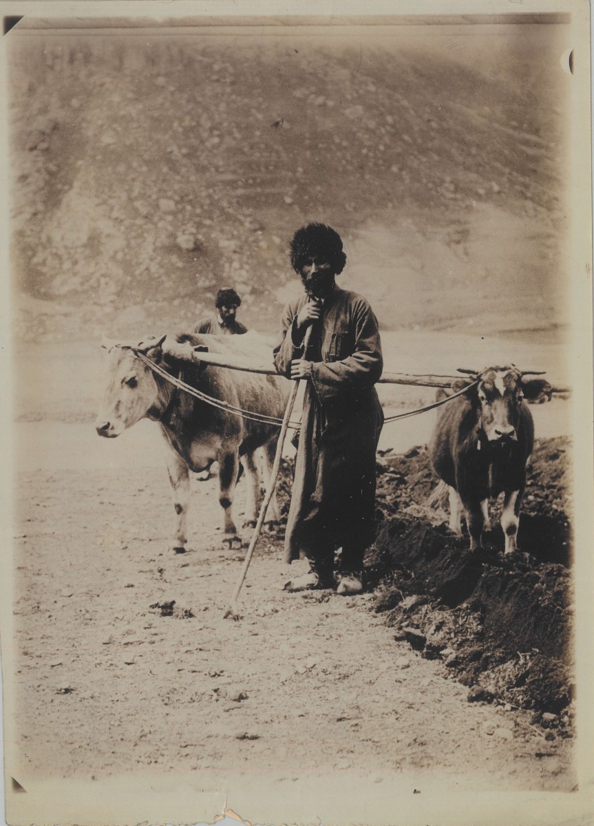
The item that prompted this week’s work is a large map of the Caucasus region, discovered by chance among uncatalogued papers on a shelf. The map is annotated ‘Baddeley’ at the back, presumably referring to John Frederick Baddeley (1854-1940), British travel writer who published extensively on the history, geography and culture of the Caucasus. Baddeley became a Fellow of the Society in 1917, and a collection of his early-20th-century photographs of Georgia and the wider region is now in our holdings (Photo.52). In fact, our map collection also contains several items apparently used or owned by Baddeley. These are often heavily annotated with English translations of place names, military features and topographical details in Russian, such as this example:
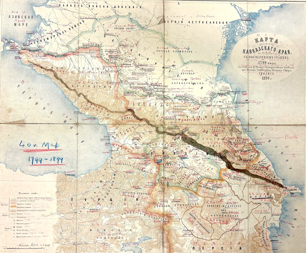
The map that I just added to the collection depicts the Caucasus in considerable detail, with administrative borders coloured, and the names of numerous places, topographical features and railways connecting major cities clearly marked – a very busy map indeed!
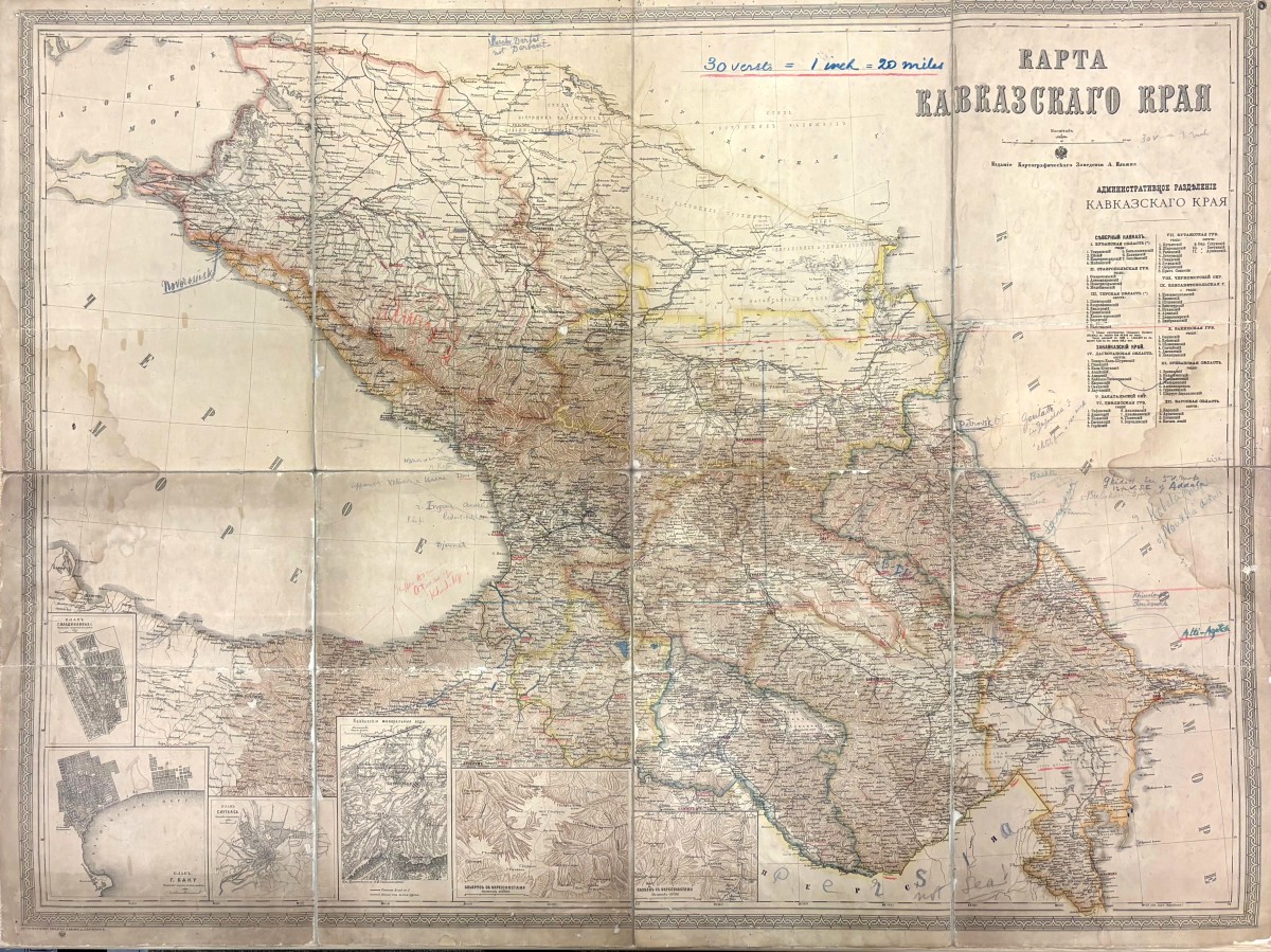
While cataloguing this item, I checked the contents of our plan chest and was intrigued to find several more uncatalogued maps sitting in the bottom drawer. Coincidentally, five additional pocket maps of the Caucasus emerged – all apparently connected to Baddeley, as his name appears on some of them.
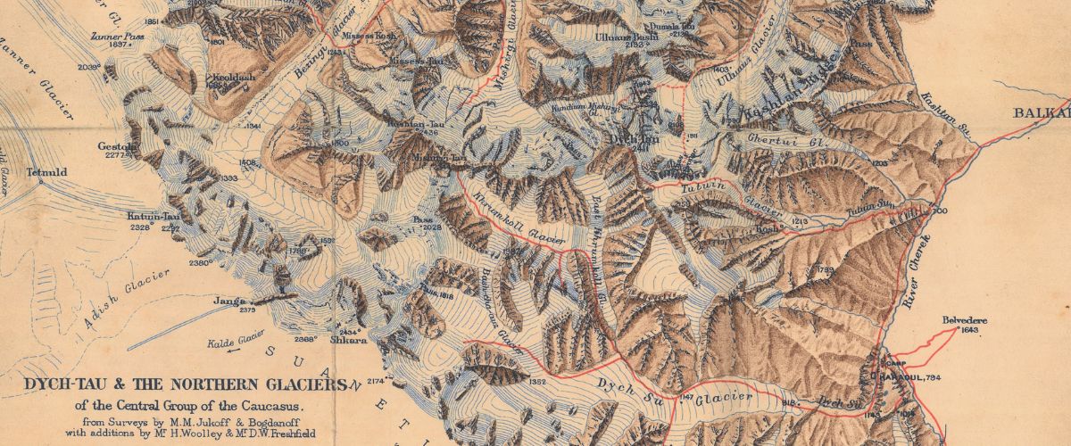
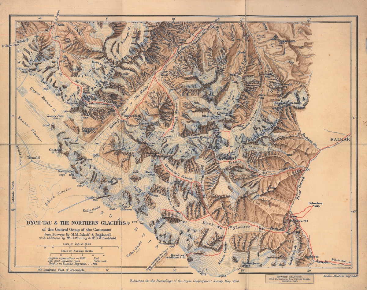
It didn’t take long for me to notice that some maps bear annotations of another name – Clinton Thomas Dent (1850-1912), or ‘CTD’ – the English mountaineer and president of the Alpine Club, a name only familiar to me because a researcher recently came in to look at his papers. Dent was a pioneering climber in the Caucasus, making the first recorded ascent of Mount Gestola (4,860 m) on the present‑day Georgia–Russia border in 1886. Dent and Baddeley were contemporaries and both were members of the Royal Geographical Society. It would appear that these pocket maps were once used or owned by Dent, perhaps given to him by Baddeley (or, indeed, vice versa), possibly as reference material for his climbing expeditions. It does not appear that Dent was a Fellow of us – as with his small collection of personal papers catalogued here, we have not been able to find any provenance information as to how these entered our collection. It is possible that his manuscripts were sent to the Society for consideration of publication, with the maps accompanying the text. Two of the four maps bearing Dent’s name contain routes in red ink, presumably marking journeys undertaken by him:
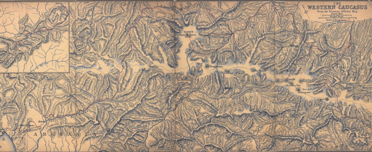
The Caucasus, positioned at the crossroads of Europe and Asia and shaped by centuries of competing political interests, remains one of the world’s most dynamic regions. Mapping it has long been essential for understanding its historical, cultural, and geopolitical complexities. Baddeley likely collected these maps to deepen his grasp of the region’s history and cultural and political realities, while Dent did that out of a passion for the region’s dramatic landscape.
Thus, one map illuminated the route to several more, and one coincidence led to another – something far from unusual in the archival world. To end this blogpost, I include two of Baddeley’s photographs, a collection that is not often viewed and deserves greater attention: